 phone (52 55)
5336-4510
phone (52 55)
5336-4510
(55 55) 2457-5098
SYSTEMS
Geographic Information Systems (GIS)
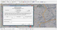
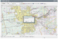
Every project related with cartographical data is represented with GIS technology. We have specialized deep inside some programming codes interacting with GIS environment to create personalized tools for different purposes. By combining GIS with the Internet, we create GIS outputs useful to data users
Key Benefits- Detailed information of Mexican Republic
Proggrammed aplications to analyze well information